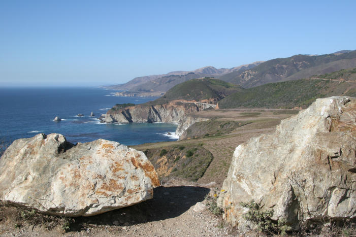
Bixby Bridge, near the northern end of Big Sur
Oct 2005
Photos © Peter Mansbach, Oct 2005.
Big Sur is the rocky and mountainous stretch of California coast south of Monterey and Carmel.
I drove down Route 1, which follows the shoreline as closely as possible.
Every bend revealed another incredible view of cliffs and ocean.
There are a number of state parks in this area, and many hiking trails.
I did short hikes/walks at Andrew Molera State Park, Julia Pfeiffer Burns State Park,
Pfeiffer-Big Sur State Park, Pfeiffer Beach, Garrapata State Park,
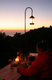
and Point Lobos State Reserve. And I ate dinner and watched the sun set at Nepenthe.
|
Bixby Bridge, near the northern end of Big Sur
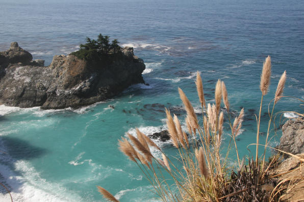
Ocean, with pampas grass in foreground
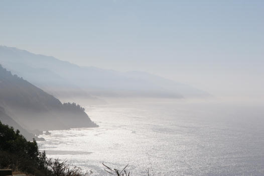
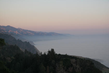
The Big Sur coastline is often shrouded in fog
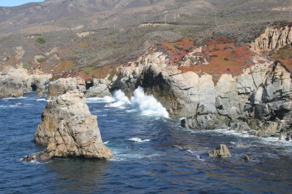
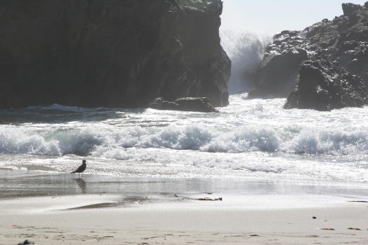
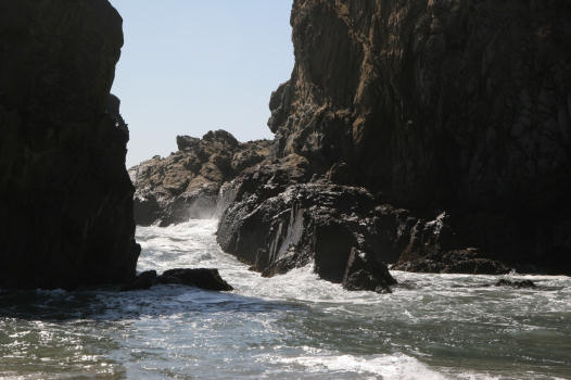
Surf on the rocks, Garrapata State Park
At the end of a two-mile long, narrow, unmarked side road is Pfeiffer Beach.
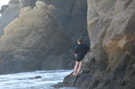
Unidentified woman
 |
The view |
Diners watch the sun set |
 |
Point Lobos is just south of Carmel. When I visited, there was a lot of wildlife activity:
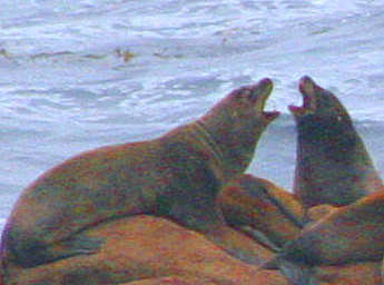 Seals, |
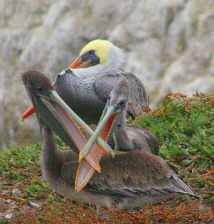 pelicans (are they kissing or fighting?), |
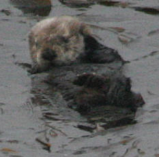 and a sea otter. |
|
Return to my home page |