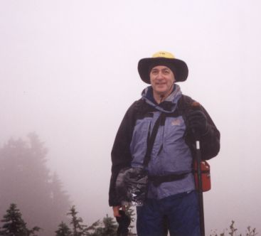
Me in front of Mt Rainier
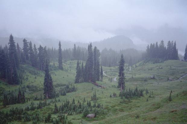
We should have known. It's name is Mt. Rainier. We spent three days there, and it was rainier than any other hiking trip we've done. We did two day-hikes. The weather alternated between gloomy fog and drenching rain. Miserable hiking. We never even saw the mountain. Here are a couple of photographs taken on the second hike, the Skyline Trail. The first is above the euphemistically named "Paradise" visitor area. The second is of me, with the mountain in the background. It's there, though of course you can't see it.
|
|
Me in front of Mt Rainier |
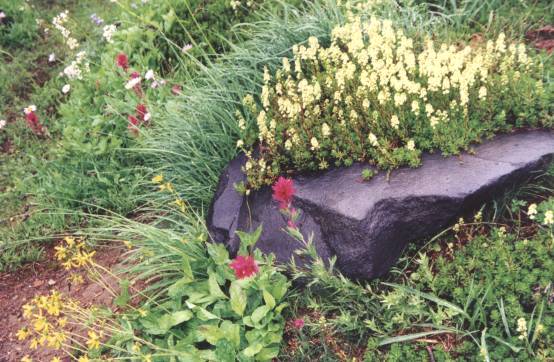
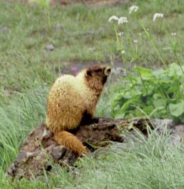
The rain is good for wildflowers, and there were lots. But the photos don't look as colorful without the sun. The marmot (right) looks a bit waterlogged, too.
|
|
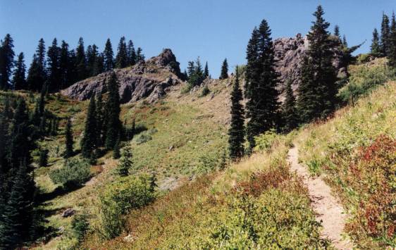
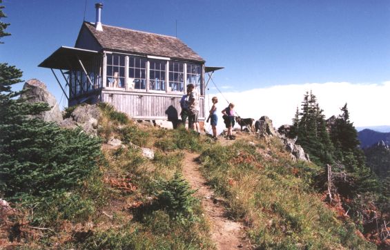
We left Mt. Rainier and drove to the town of Cle Elum, at the edge of the Alpine Lakes Wilderness. The next day we drove to the Thorp Mountain trailhead. The last 2 miles of that road was as rough and rocky as any in Afghanistan. At least we had good, sunny weather. We climbed the trail to the top of Thorp Mtn, elev. 5850 ft, where there is a fire lookout station.
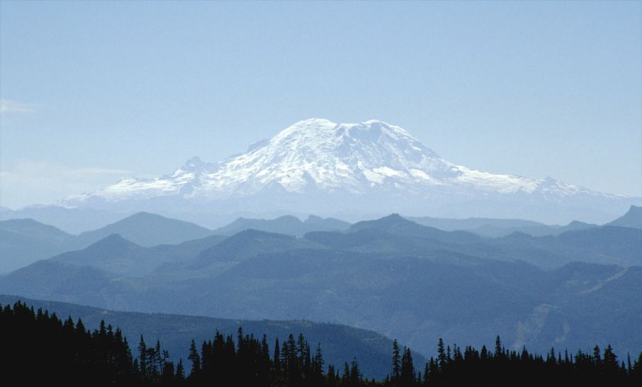
Suddenly we saw it! The Mountain. Mt. Rainier, rising far above all others in the area. It seems almost to float there. The mountains in the foreground are 6,000-foot peaks. Mt. Rainier is over 14,000 feet. It's massive. It looms. And the glaciated top half is so bright, you scarcely see the forested bottom supporting it.
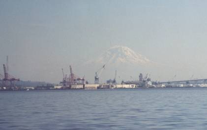
It's so big and bright that it can be seen all the way from Seattle, where it seems to float eerily above the harbor.
From Seattle we took the Victoria Clipper ferry to Victoria, BC.
Please follow the link to see photos from that part of the trip.
Back to my home page
Victoria, BC
Email me
© Peter Mansbach, no commercial use without written permission