Big Bend National Park
November 2002
Photos © Peter Mansbach, Nov 2002.
No commercial use without written permission.
|
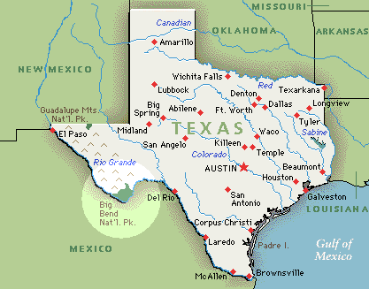
Big Bend National Park is located at the big bend in the Rio Grande River, in
Texas, about 300 miles southeast of El Paso.
Big Bend extends from the river at about 2000 ft elevation to the
Chisos Mountains, which rise to nearly 8000 ft. Much of the area is
Chihuahuan desert, but the Chisos basin is more densely vegetated.
|
|
The most spectacular formation is the Santa Eleña Canyon,
formed by the Rio Grande. The first photo below is a distant view of
the Canyon's exit, with the Rio Grande downstream in the foreground.
The second is just
inside the mouth of the canyon, at the river's exit.
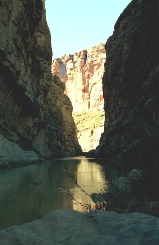
A trail winds into the canyon for about half
a mile. The third photo is taken at the end of that trail, looking
further upstream.
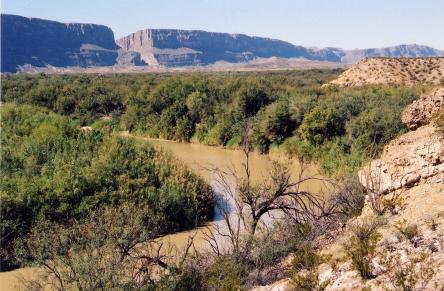
Rio Grande in the foreground,
Santa Eleña Canyon in back.
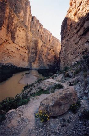
The Trail inside Santa Eleña Canyon
|
End of the trail
Santa Eleña Canyon
|
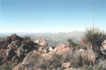
I spent two days hiking in the Chisos Mountains. On the first day, I hiked
the Window Trail down to The Window. Also walked half a mile up a side
trail called the Oak Spring Trail.
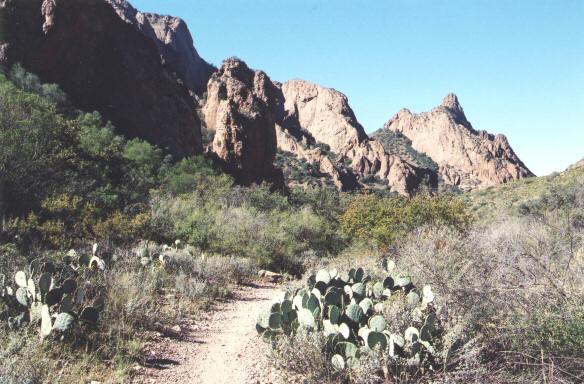
The Window Trail
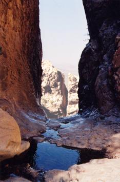
The Window
|
View from Oak Spring Trail
|
My second hike was to the top of Emory Peak, at 7825 ft the highest point in the
park. The background of this page
is from a photo of the graphically named Deadhorse Mountains, seen from
the Emory Peak Trail.
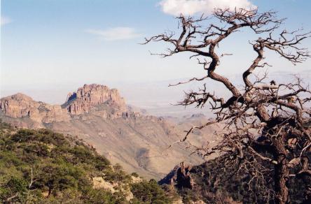
View from the Emory Peak Trail
|
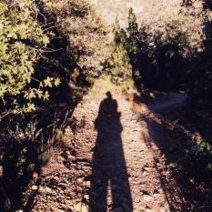
Self-Portrait
|
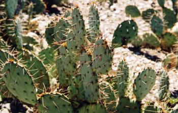
On the way down
I slipped on a rock
and fell onto
one of these.
That was not fun.
Prickly Pear Cactus
|
|
Return to my home page