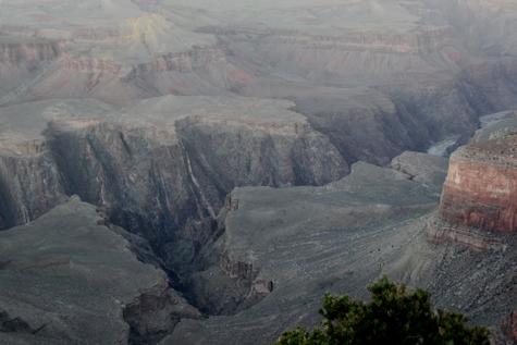
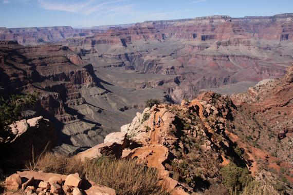
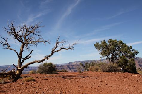
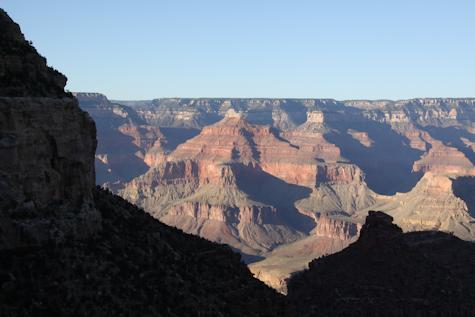
Grand Canyon - South Rim - October 19 - 21, 2011
Photos © Peter Mansbach, 2010.
No commercial use without written permission.
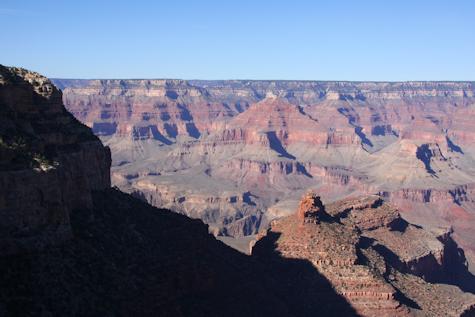
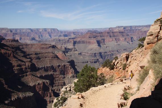
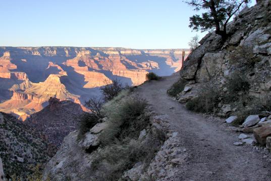
View from Bright Angel Trail, about 3 mi in, overlooking Indian Gardens
Photos © Peter Mansbach, 2010.
No commercial use without written permission.
View from Bright Angel Trail, about 3 mi in, overlooking Indian Gardens
 View of the canyon, near Bright Angel Lodge |
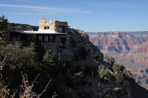 Lookout Studio and Gift Shop, near Bright Angel Lodge |
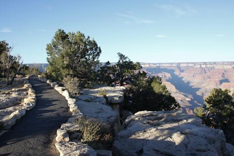 Rim Trail near Maricopa Point |
 Colorado River, in shadow at the bottom, seen from the Rim Trail |
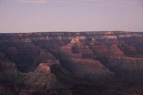
View from Hopi Point, just after sunset
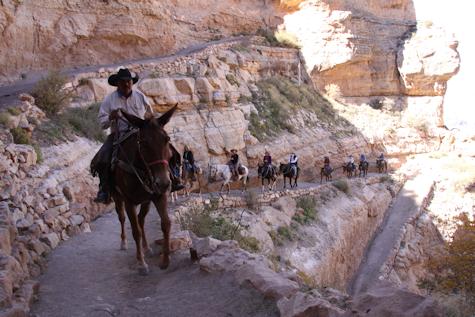 Mule train, near the beginning of the trail |
 Along the South Kaibab Trail |
I hiked about 1½ miles down the South Kaibab Trail, to Cedar Ridge, about 1000 ft below the canyon rim. A good place
to stop for lunch, and then head back.
 Looking down at Cedar Ridge |
 On Cedar Ridge |
Another view from the South Kaibab Trail
The first photo below, taken at Trailview Overlook on the Rim Trail on Oct 19, shows the Bright Angel Trail from above. Today (Oct 21) I get to enjoy all those switchbacks. The next photo is of the first tunnel along the trail.
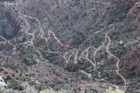 Bright Angel Trail, from above |
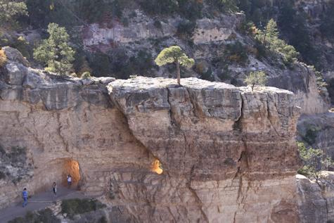 Tunnel near beginning of trail |
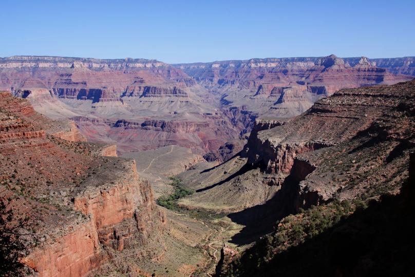
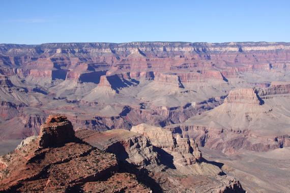
I hiked 3 miles down the trail, past the 1½ mile rest house, to the 3 mile rest house. This was about 2,000 ft below the rim. Then, of course, I had to hike back up. I hadn't trained for this trip, so I was pretty tired by the time I got back up. The shot on the left, below, shows the 3 mile rest area seen from afar. The "rest house" itself is the small open hut just below the center of the picture. The structure farther back, on the right, houses the bathrooms. The large photo at the top of this page was taken from roughly the same place on the trail as this shot.
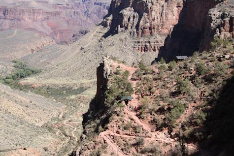 3 mile rest house area |
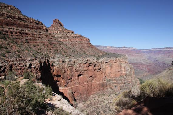 The Redwall Formation, the cliff just below the 3 mile rest house. |
There are lots of layers in the canyon walls, but two are easily recognizable: the Coconino Sandstone is the very light colored
layer near the top, and the Redwall is the reddish cliff several layers down. Both are visible in many of these photographs.
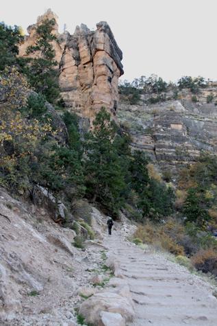 |
Heading back along the Bright Angel Trail |
 |
Almost back to the rim, just before sunset